
KM TIDAR

Course/Position
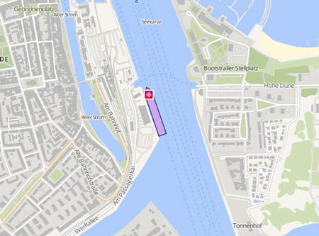
Latest ports
Port
Arrival
Departure
Duration
2025-09-14
2025-09-14
3h 56m
2025-09-13
2025-09-13
5h 12m
2025-09-11
2025-09-12
11h 43m
2025-09-08
2025-09-08
4h 21m
2025-09-07
2025-09-07
3h 58m
Note: All times are in UTC
Latest Waypoints
Waypoints
Time
Direction
-
-
-
Latest news
Ferry ran aground
On July 26, 2021, at 1.30 p.m. the KM 'Tidar' ran aground in the waters of Namlea Harbor, Buru Regency, shortly after departing from Namlea Port for Yos Sudarso Port, Ambon, at noon. During the maneuver the ferry got stuck a few meters west of the pier due to stron wind in pos. 03° 16.22' S 127° 4.80' E. Another vessel was dispatched to transport the remaining people on board. Officials suspected that the vessel ran aground due to low tide shortly after it departed the port of Namlea. The 'Tidar' has been successfully refloated on July 27 at 7.10 p.m. The ferry arrived in the port of Ambon, on July 28 att 4.30 p.m. Report with photo: https://terasmaluku.com/wp-content/uploads/2020/07/0001.jpg
Upload NewsDaily average speed
Distance travelled
Ship master data
Vessel Name Original :
Imo :
Mmsi :
Callsign Original :
Flag Normalized :
My Vessel Type :
Port Of Registry :
Service Speed :
Status Of Ship Standardized :
Status Date Normalized :
Hull Type :
Hull Material :
Decks Number :
Bulkheads :
Size Class :
Gross Tonnage :
Net Tonnage :
Deadweight :
Teu :
Cargo Holds :
Bale :
Grain :
Fuel :
Fuel Type :
Ballast :
Classed By 1 :
Classed By 1 Status :
Classed By 1 Date Change :
Classed By 2 :
Classed By 2 Status :
Classed By 2 Date Change :
P I Insurer 1 :
P I Insurer Date 1 :
Survey 1 :
Survey 1 Date :
Survey 1 Next Date :
Survey 2 :
Length Overall :
Length Registered :
Length Bp :
Breadth Registered :
Breadth Extreme :
Breadth Moulded :
Depth Moulded :
Draught :
Freeboard Summer :
Freeboard Winter :
Freeboard Tropical :
Engine Power :
Aux Engine 1 :
Aux Engine 1 Bhp :
Aux Engine 1 Kw :
Aux Engine 1 No :
Aux Engine 1 Rpm :
Eng Total Bhp :
Eng Total Kw :
Main Engine Builder :
Main Engine Model :
Main Engine Power :
Main Engine Type :
Propeller :
Propeller Description :
Propelling Type :
Generator :
Generator Description :
Manager Name :
Manager Address :
Manager Location :
Manager Phone :
Manager Fax :
Owner Name :
Owner Address :
Ism Manager Name :
Ism Manager Address :
Ism Manager Location :
Ism Manager Phone :
Ism Manager Fax :
Ism Manager Email :
Ism Manager Website :
Man Owner :
Man Owner Address :
Man Owner E Mail :
Man Owner Internet :
Man Owner Nation :
Man Owner Post No :
Man Owner Telefax :
Man Owner Telephone :
Reefer Pts :
Ex Name 1 :
Ex Name 2 :
Ex Name 3 :
Year Of Built :
Launch Date :
Builder :
Country Place Of Build :
Yard Number :