
AOM JULIA

Course/Position
Latest ports
Latest Waypoints
Latest news
Bulk carrier damaged in collision with LPG tanker
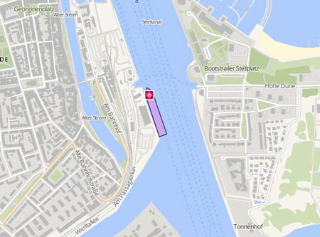
The LPG tanker 'Marianna Glory' (IMO: 9275426) was in collision with the unloaded 'AOM Julia' in Surubaya, en route to Makassar, in pos. S 01° 19.965' N 111° 1.60' E, on March 17, 2025, at around 5 a.m. WITA. It ran into the starboard side of the other ship and penetrated the hull, which was breached over several meters length at the height of cargo hold no. 4, and itself suffering deformations to the bow and damage to the port side foreship. The 'Marianna Glory' had completed its Ship-to-Ship (STS) operation and resumed its voyage to Makassar, carrying 8,000 metric tons of LPG, when it encountered severe weather conditions, resulting in the collision with the 'AOM Julia', which was preparing to anchor in Zone A Balikpapan. The patrol vessel 'KNP 349' was deployed to the scene, led by the Head of Patrol Supervision and Investigation (PSC). An initial assessment was conducted to identify potential marine pollution. Preliminary findings indicated no signs of pollution in the waters. As of March 19, 2025, the tanker was moored in pos. 01° 20' N 117° 02' E. Report with photos: https://hubla.dephub.go.id/Indonesianmaritimesafetyinformation/page/news/read/25135/tabrakan-kapal-di-perairan-balikpapan-mt-marianna-glory-dan-mv-aom-julia-terlibat-insiden-ship-collision-in-balikpapan-waters-mt-marianna-glory-and-mv-aom-julia-involved-in-an-incident
Upload News